الوصف
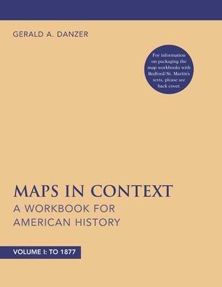
In this engaging workbook, readers are introduced to the intricate relationship between maps and American history. Crafted by an authority in historical cartography, the content is designed to empower instructors and enrich classroom discussions. Each section delves into historical events and themes, inviting students to explore these topics through the lens of cartographic evidence.
The workbook encourages critical thinking by prompting learners to analyze how maps can illustrate shifts in power, societal changes, and geographic contexts throughout American history. By incorporating exercises that require students to interpret and create their own maps, the author fosters a deeper understanding of historical narratives and the importance of spatial awareness.
With a focus on skill-building, this resource transforms the study of American history into a dynamic exploration, making it an invaluable tool for educators seeking to inspire the next generation of historians. It is a unique approach that highlights how visual representation can enhance comprehension of complex historical events.
The workbook encourages critical thinking by prompting learners to analyze how maps can illustrate shifts in power, societal changes, and geographic contexts throughout American history. By incorporating exercises that require students to interpret and create their own maps, the author fosters a deeper understanding of historical narratives and the importance of spatial awareness.
With a focus on skill-building, this resource transforms the study of American history into a dynamic exploration, making it an invaluable tool for educators seeking to inspire the next generation of historians. It is a unique approach that highlights how visual representation can enhance comprehension of complex historical events.
تفاصيل الكتاب
تنسيق
غلاف ورقي
صفحات
96 صفحات
لغة
الإنجليزية
منشور
Oct 8, 2004
الناشر
Bedford/St. Martin's
رقم ISBN-10
0312434812
رقم ISBN-13
9780312434816