

Beschreibung
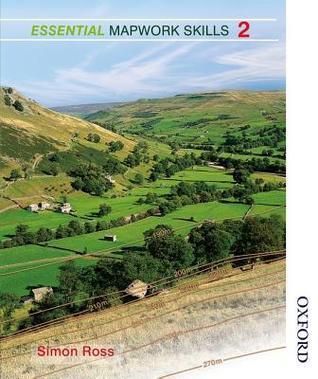
Simon Ross presents a comprehensive guide designed to enhance mapwork skills through engaging case studies. This resource is particularly valuable for educators and students looking to foster a deeper understanding of geographical concepts. By integrating thematic and topographical elements, it provides a diverse range of scenarios that challenge learners to apply their knowledge in practical contexts.
The activities are tailored to build critical thinking and analytical skills, encouraging users to interpret and evaluate various types of maps. This interactive approach not only aids in mastering essential mapreading techniques but also helps to develop a greater appreciation for geographic information systems.
Through this unique blend of theory and hands-on exercises, readers are invited to explore the intricate relationships between maps and the real world. The structured format supports gradual learning, making it an ideal tool for both newcomers to geography and those seeking to refine their skills.
The activities are tailored to build critical thinking and analytical skills, encouraging users to interpret and evaluate various types of maps. This interactive approach not only aids in mastering essential mapreading techniques but also helps to develop a greater appreciation for geographic information systems.
Through this unique blend of theory and hands-on exercises, readers are invited to explore the intricate relationships between maps and the real world. The structured format supports gradual learning, making it an ideal tool for both newcomers to geography and those seeking to refine their skills.
Buchdetails
Format
Spiralbindung
Seiten
128 Seiten
Sprache
Englisch
Veröffentlicht
Nov 1, 2014
Verlag
Oxford University Press
ISBN-10
0748784365
ISBN-13
9780748784363