

Beschreibung
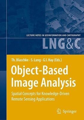
This book presents a compilation of insights from various fields, focusing on the evolving landscape of object-based image analysis in remote sensing. The authors, each renowned in their respective domains, enrich the discussion by integrating spatial concepts with practical applications, leading to a comprehensive understanding of the subject.
As remote sensing technology advances, the need for sophisticated analysis techniques becomes paramount. The contributors explore how object-based methods can enhance the extraction of information from satellite and aerial imagery, providing fresh perspectives on data interpretation. The interdisciplinary approach fosters collaboration among researchers and practitioners, encouraging innovative solutions to complex spatial problems.
In delving into the knowledge-driven applications of these techniques, the book emphasizes the relevance of spatial concepts in diverse areas, such as environmental monitoring, urban planning, and resource management. By highlighting case studies and current research trends, it serves as a valuable resource for anyone interested in leveraging remote sensing for informed decision-making.
As remote sensing technology advances, the need for sophisticated analysis techniques becomes paramount. The contributors explore how object-based methods can enhance the extraction of information from satellite and aerial imagery, providing fresh perspectives on data interpretation. The interdisciplinary approach fosters collaboration among researchers and practitioners, encouraging innovative solutions to complex spatial problems.
In delving into the knowledge-driven applications of these techniques, the book emphasizes the relevance of spatial concepts in diverse areas, such as environmental monitoring, urban planning, and resource management. By highlighting case studies and current research trends, it serves as a valuable resource for anyone interested in leveraging remote sensing for informed decision-making.
Buchdetails
Format
Gebundene Ausgabe
Seiten
834 Seiten
Sprache
Englisch
Veröffentlicht
Jul 17, 2008
Verlag
Springer
ISBN-10
3540770577
ISBN-13
9783540770572