

本の詳細
形式
ペーパーバック
言語
英語
公開されました
Jun 1, 2008
出版社
Esri Pr
ISBN-10
1589481852
ISBN-13
9781589481855
説明
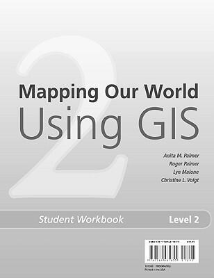
This educational workbook serves as a practical companion for students eager to explore Geographic Information Systems (GIS). It offers a hands-on approach to learning, guiding users through the foundational concepts and applications of GIS technology. With interactive exercises and real-world scenarios, students are encouraged to think critically about how to map and analyze their surroundings.
Designed to complement the instructor's text, this workbook promotes collaborative learning and critical thinking. It presents a structured format that helps students develop essential skills in data visualization and geographic analysis. As they engage with the material, they gain a deeper understanding of the principles that underpin modern mapping techniques.
By the end of the workbook, students will have acquired the knowledge necessary to navigate the complexities of GIS. This resource not only enhances classroom learning but also prepares aspiring geographers and data analysts for their future careers. Through meaningful exploration, students will discover the impact of GIS on our world and the importance of spatial thinking in various fields.
Designed to complement the instructor's text, this workbook promotes collaborative learning and critical thinking. It presents a structured format that helps students develop essential skills in data visualization and geographic analysis. As they engage with the material, they gain a deeper understanding of the principles that underpin modern mapping techniques.
By the end of the workbook, students will have acquired the knowledge necessary to navigate the complexities of GIS. This resource not only enhances classroom learning but also prepares aspiring geographers and data analysts for their future careers. Through meaningful exploration, students will discover the impact of GIS on our world and the importance of spatial thinking in various fields.