

描述
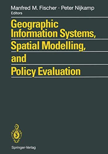
Geographical Information Systems (GIS) provide an enhanced environment for spatial data processing. The ability of geographic information systems to handle and analyse spatially referenced data may be seen as a major characteristic which distinguishes GIS from information systems developed to serve the needs of business data processing as well as from CAD systems or other systems whose primary objective is map production. This book, which contains contributions from a wide-ranging group of international scholars, demonstrates the progress which has been achieved so far at the interface of GIS technology and spatial analysis and planning. The various contributions bring together theoretical and conceptual, technical and applied issues. Topics covered include the design and use of GIS and spatial models, AI tools for spatial modelling in GIS, spatial statistical analysis and GIS, GIS and dynamic modelling, GIS in urban planning and policy making, information systems for policy evaluation, and spatial decision support systems.
书籍详情
格式
平装书
页数
291 页
语言
英语
已发布
12月 8, 2011
出版商
Springer
版本
2 个版本
ISBN-10
3642775020
ISBN-13
9783642775024