

Description
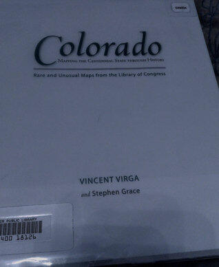
Exploring the rich tapestry of Colorado's history through the lens of cartography, this work offers a unique perspective on the Centennial State. The authors delve into a collection of rare and unusual maps from the Library of Congress, revealing how geography has shaped the cultural and historical narrative of Colorado. Each map serves as a portal to a different era, marking significant events and transformations that have defined the state's identity over time.
Through meticulous research and vivid illustrations, the book captures the evolution of Colorado from its early days to its status as a vibrant modern state. It highlights not just the physical landscape, but also the stories of the people and communities that have thrived there. Readers are invited to journey through time, witnessing the changes that reflect both the natural beauty and the complex history of Colorado.
With insights from both authors, the narrative weaves together geography, history, and storytelling, enriching the reader's understanding of how maps are not just tools, but powerful artifacts that convey the essence of a place. This exploration promises to engage both history enthusiasts and map lovers alike, igniting a newfound appreciation for the stories that lie beneath the surface of Colorado's terrain.
Through meticulous research and vivid illustrations, the book captures the evolution of Colorado from its early days to its status as a vibrant modern state. It highlights not just the physical landscape, but also the stories of the people and communities that have thrived there. Readers are invited to journey through time, witnessing the changes that reflect both the natural beauty and the complex history of Colorado.
With insights from both authors, the narrative weaves together geography, history, and storytelling, enriching the reader's understanding of how maps are not just tools, but powerful artifacts that convey the essence of a place. This exploration promises to engage both history enthusiasts and map lovers alike, igniting a newfound appreciation for the stories that lie beneath the surface of Colorado's terrain.
Book Details
Format
Kindle
Pages
128 pages
Language
English
Published
Oct 14, 2009
Publisher
Globe Pequot Press
Editions
3 editions
ISBN-10
0762758449
ISBN-13
9780762758449