

Description
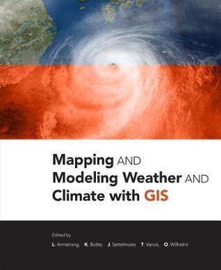
Mapping and Modeling Weather and Climate with GIS is a contributed volume of 23 chapters from leading climatologists, meteorologists, and other experts about how geospatial cartography and analysis helps to advance atmospheric science research. Coverage includes data and software resources, data representation, observations, modeling, data-model integration, web services, and the areas of current and potential cross-fertilization of atmospheric and geospatial sciences. Providing both the concepts and practices of mapping and modeling projects, the book is useful to novices using GIS on weather and climate projects. Practitioners and managers will gain a clear picture of the advances in GIS for atmospheric sciences and appreciate the helpful lists of available geospatial resources.
Book Details
Format
Paperback
Pages
370 pages
Language
English
Published
Feb 16, 2015
Publisher
Esri Press
ISBN-10
1589483766
ISBN-13
9781589483767